October 2024: Bikepacking Cathedral Valley
My bikepacking buddies and I had had this trip planned for a while. I had never done it before and was looking forward to it. We took a chance planning it for late October. The weather is not very predictable that time of year. It could have been raining / wet, which makes a lot of the dirt roads impassable and because of mud and dry washes turning into torrential bodies of water. Nights can be freezing cold. Fortunately, the weather was beautiful, with temperatures predicted to be in the high 60s during the day in in the high 30s / low 40s overnight. Ideal biking weather really! Most of the group had to bow out for various reasons, so it was just going to be my buddy Tiger and me. We have done quite a few trips together, and we have become great bikepacking buddies. So, good company guaranteed.
The route was going to be 60-70 miles depending on detours taken.
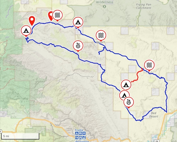
You can peruse the interactive version of this map on Gaia GPS.
Day 1: Friday, Oct 25
I had taken the day off and was already in our second home in Torrey, the small town that is the "Gateway to Capitol Reef". Tiger was able to take most of the day off and made it to Torrey around 2pm. The 40-minute drive to our staging area would have us start riding as early as 3!
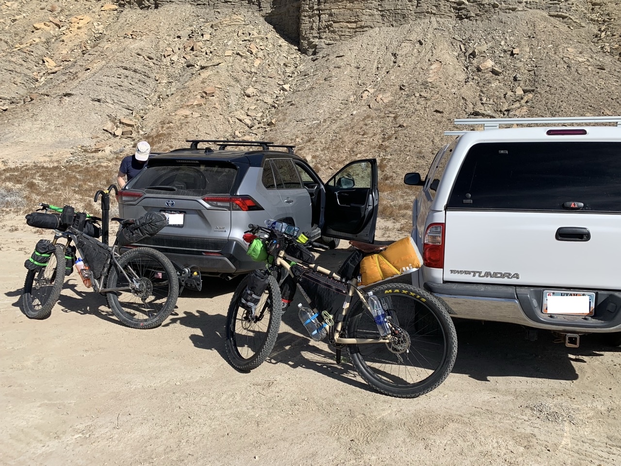
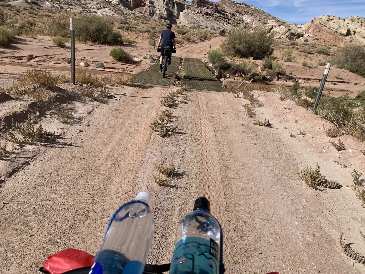
We had decided to do the route counterclockwise, which is what people had generally recommended. So we started off in Northwesterly direction, passing an old airstrip which weirdly does not show up on any USGS topographical maps! It's almost visible from the highway, so it can't have been something super secret..Mysterious! The road also had a few steel grate bridges, which I thought was unusual, because the road didn't really lead anywhere. Probably a remnant of some old mining activity.
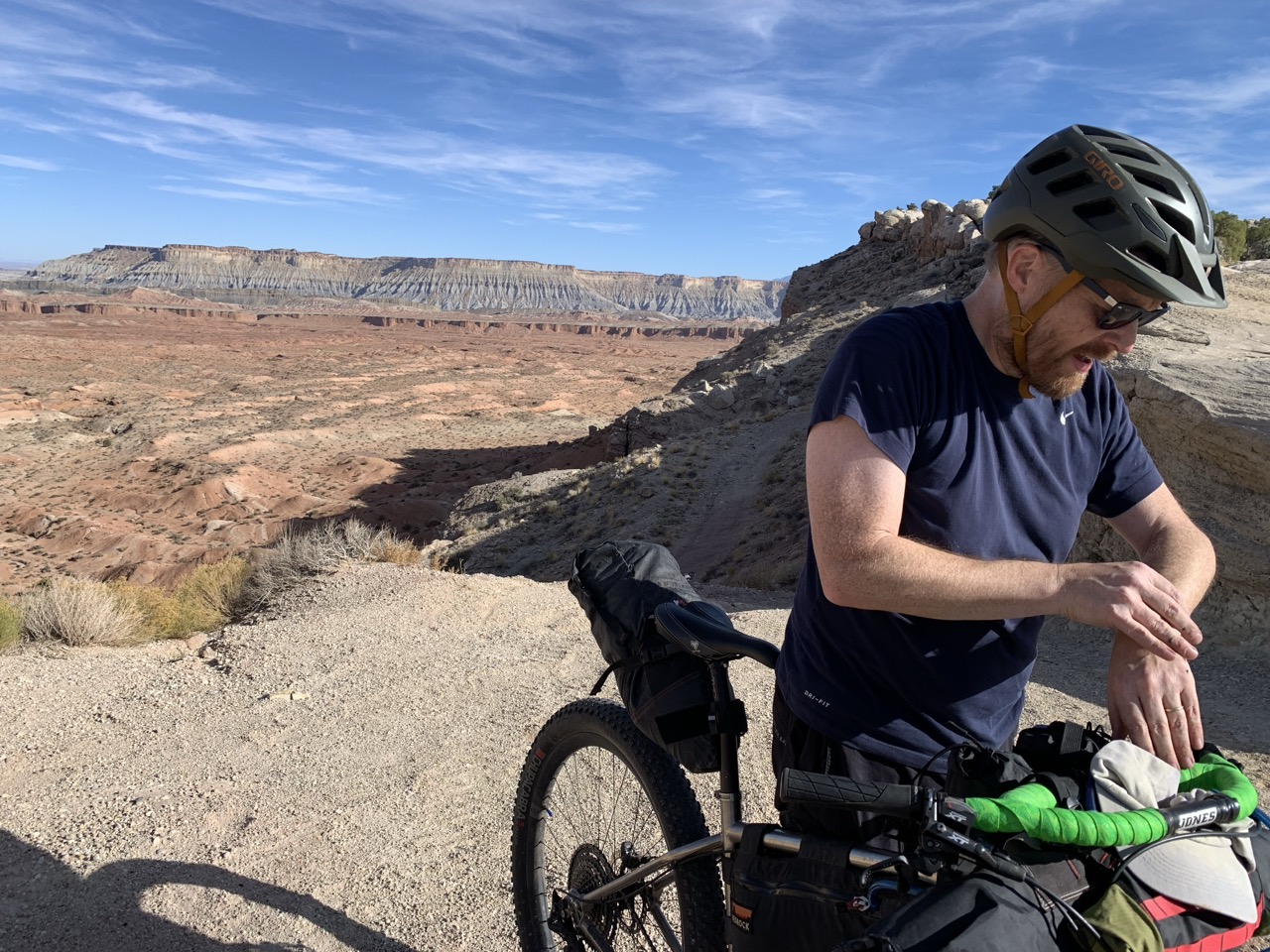
The road was relatively smooth for the first few miles, but then a steep climb would make it all but impossible to travel by regular vehicle. At least I would not dare take my RAV4 up that climb. It was steep enough that we had to dismount and hike-a-bike for a bit.. Good views at the top though!
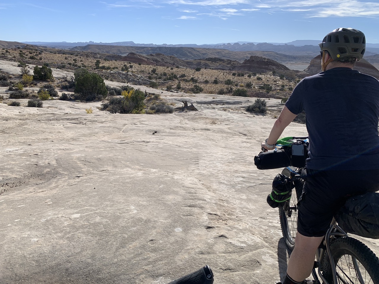
Next was a portion of slickrock downhill Not my favorite, because as much as I like bikepacking, I am not an experienced mountain biker. On the other hand, this was the most challenging terrain we encountered on the entire trip, and it was only a short stretch, perhaps a mile and a half.
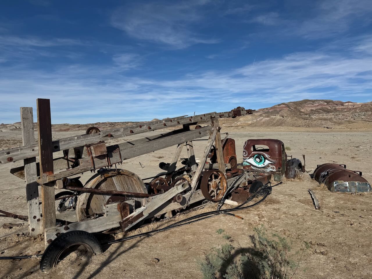
Later on, we came upon one of the better known man-made landmarks in the area, an old truck that was deserted, probably after breaking down, and decades later is half-buried in the desert. Of course, this being the West, it has plenty of bullet holes in it.
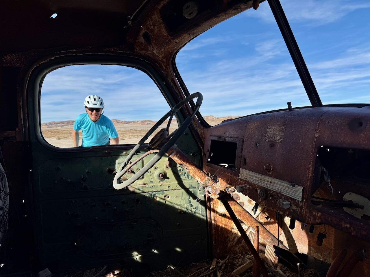
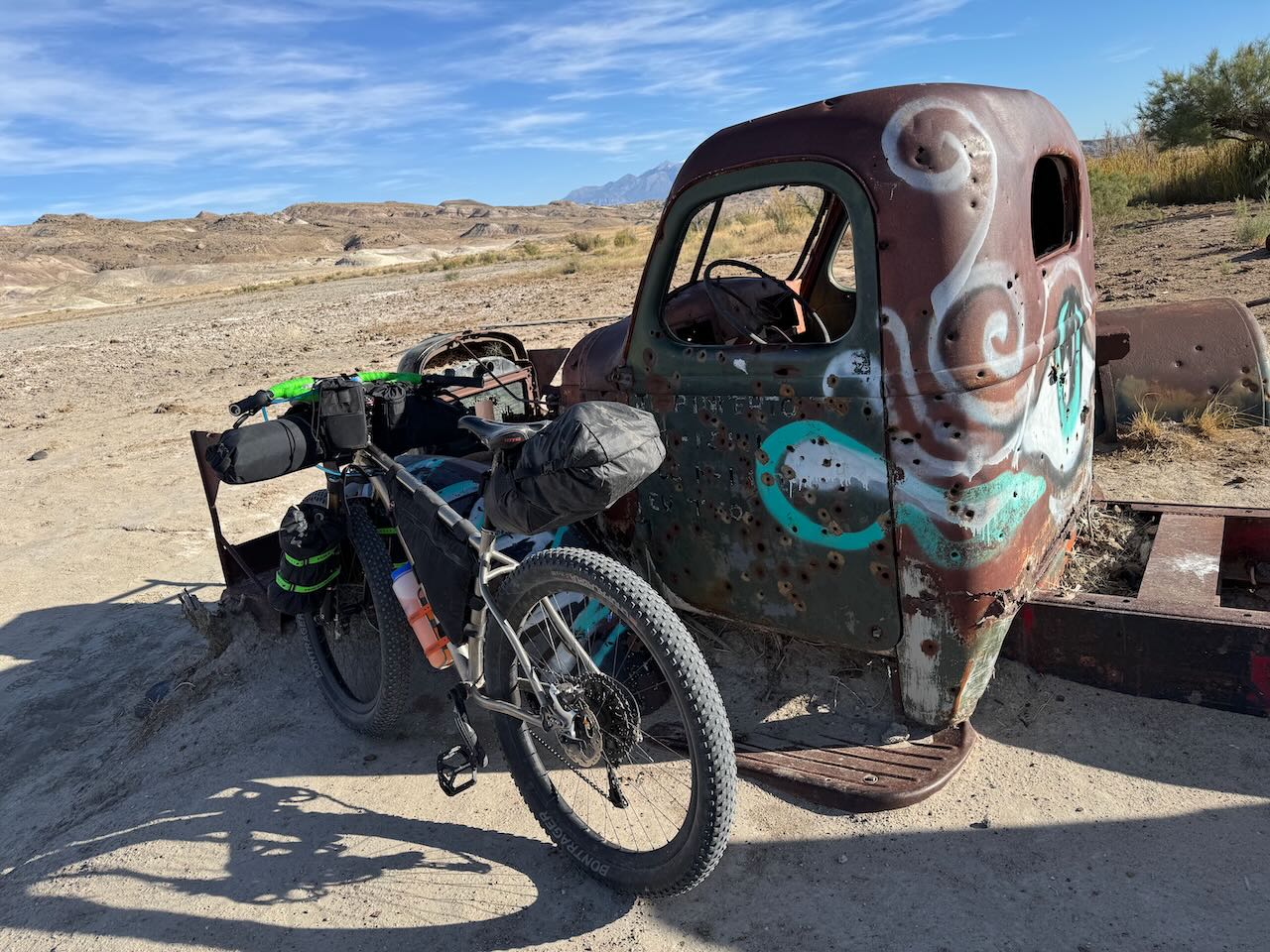
The truck was hauling some kind of mining-related machinery. The area, rich in valuable resources like copper and uranium, had a lot of small scale mining operations.
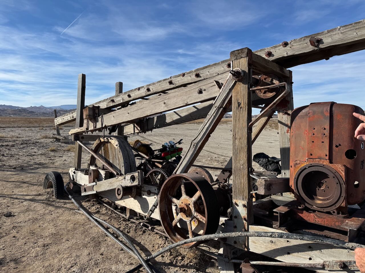
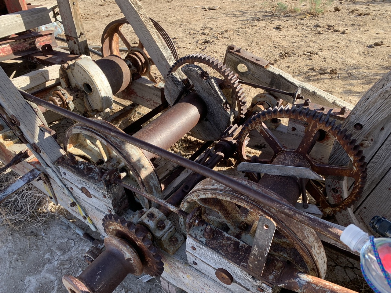
After this, we started to gradually climb. The kind of climbing where you don't really see that you're climbing if you look at the road ahead, but you definitely feel that you're climbing. We knew from looking at the elevation profile that the next 25 or so miles would involve a lot of this gradual climbing. I don't mind it, as long as the grade is constant and you can settle into it. This was mostly the case, with the exception of some steeper grades crossing over the Bentonite Hills.
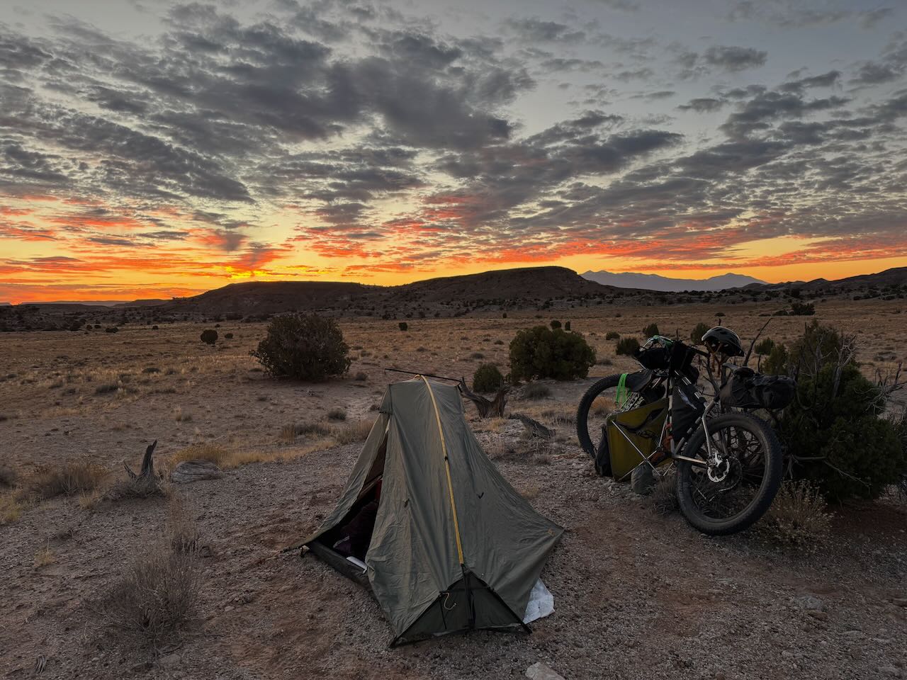
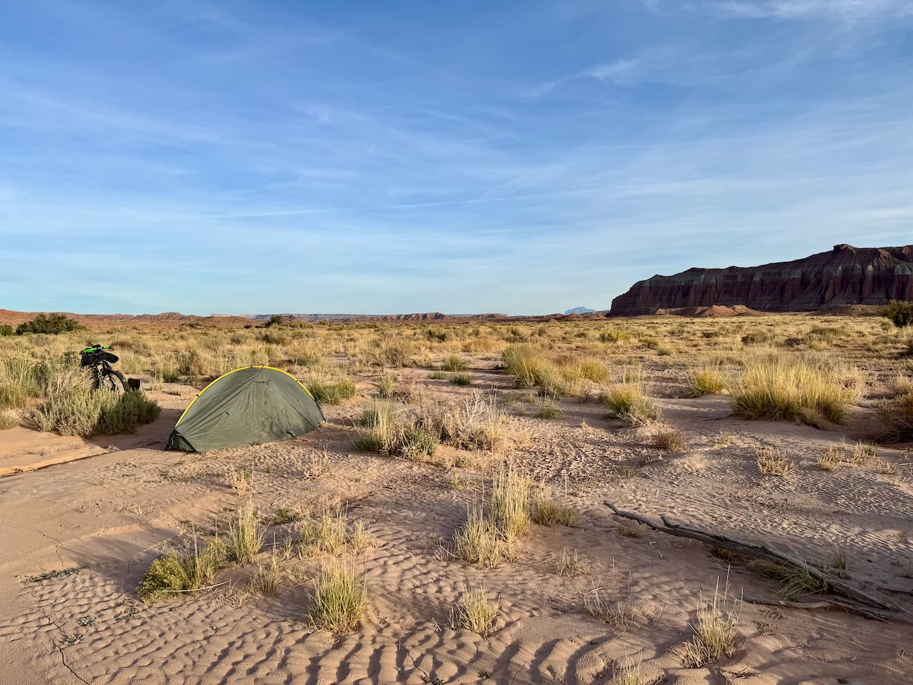
After a couple more hours of riding, we had another hour or so of daylight left, so it was time to find a place to camp. The characteristics of a good shoulder season backcountry campsite are: 1) has morning sun to help warm up more quickly after a chilly night, 2) away from roads, preferably not visible to passers-by, 3) out of the wind, if there is wind or wind is expected, 4) a good level pitch with soil that will let you drive a stake into it, and it will stay in place. We found one that checked the boxes. Time to set up camp, cook, eat, and hit the sack!
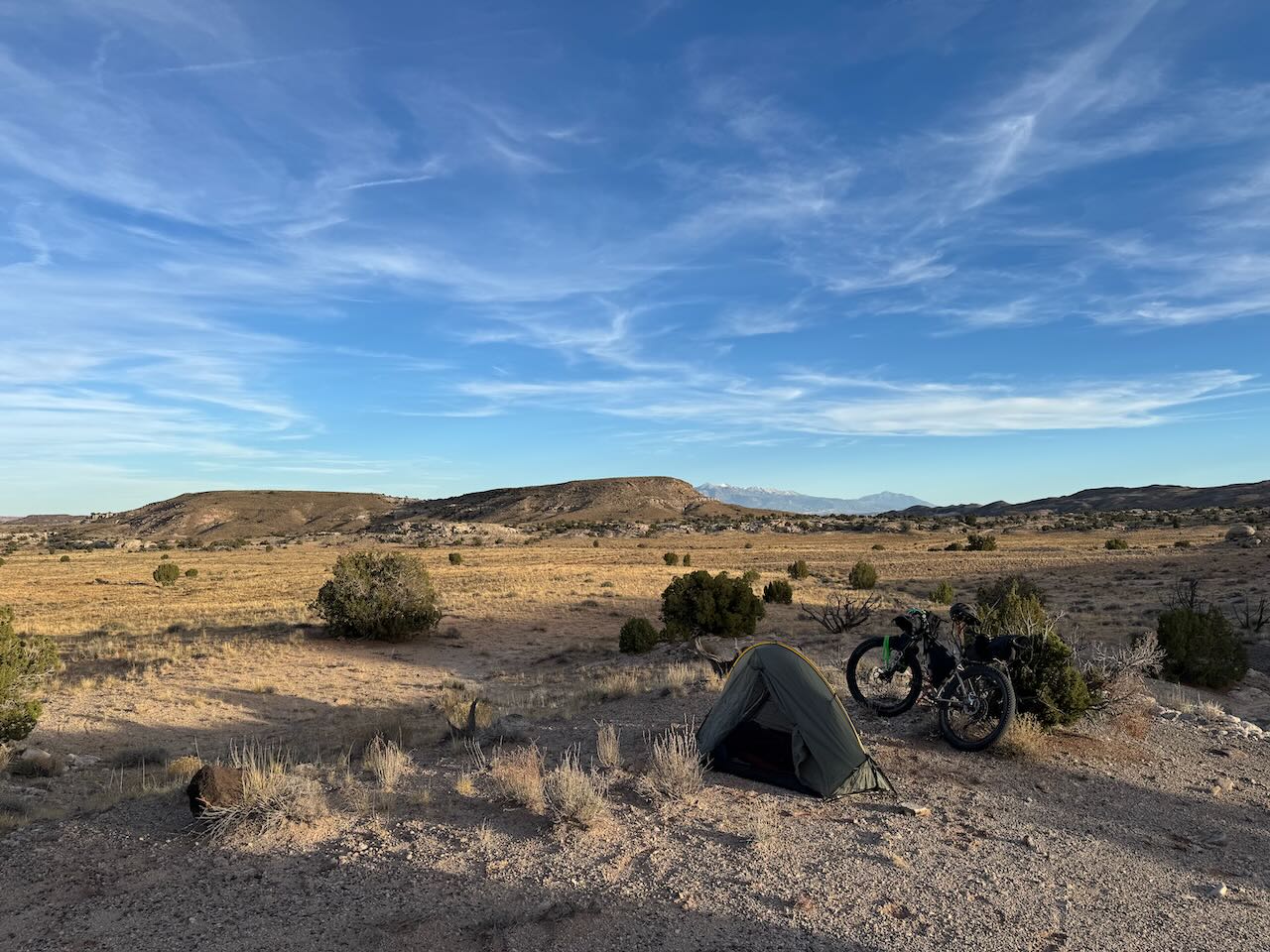
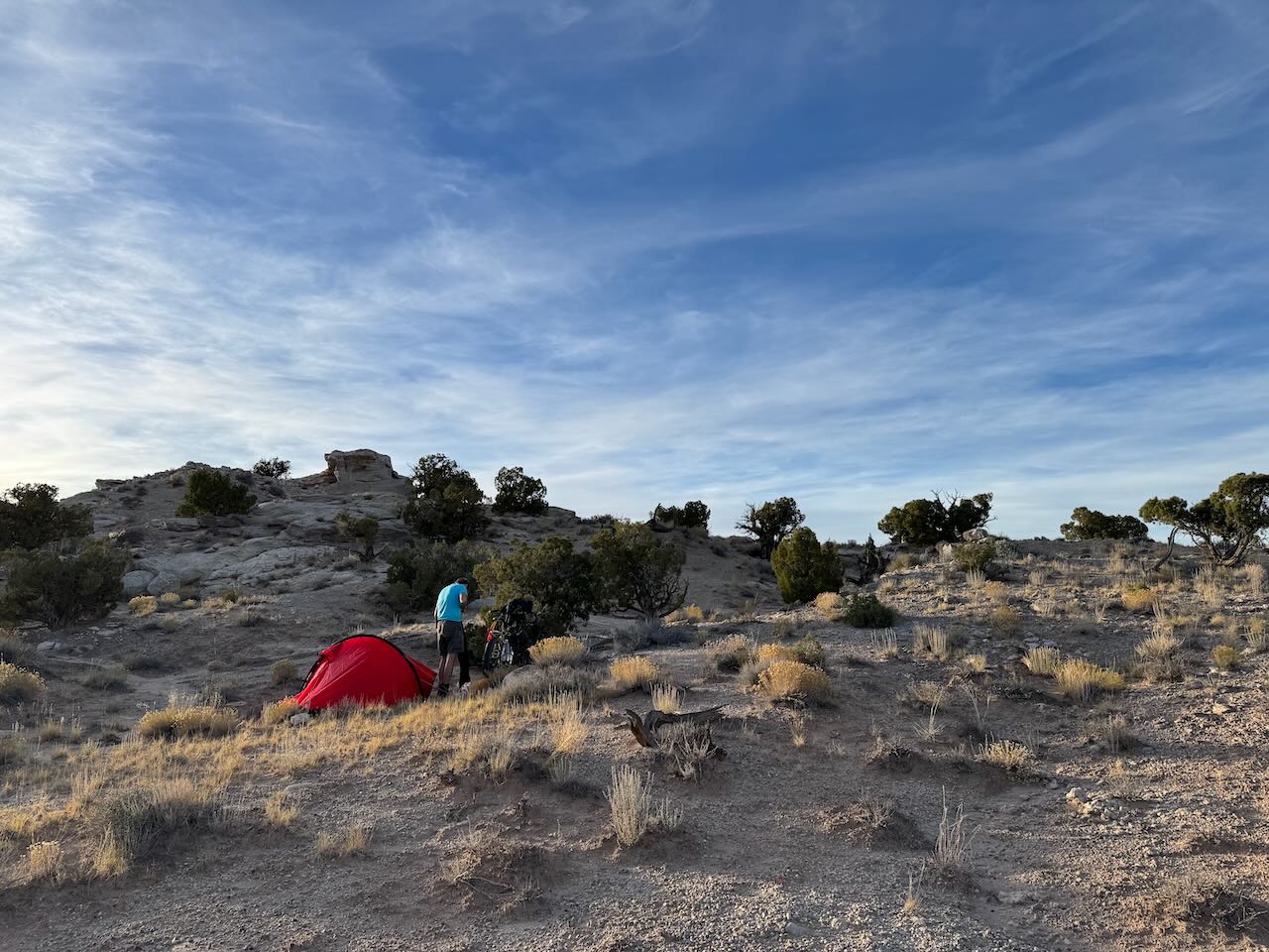
One downside of late season bikepacking trips is that there it gets dark (and chilly) early. So unless you build a fire, which is a generally a bad idea in the dry desert, you end up turning in before 8pm. This is not such a bad thing when you've ridden all day and are exhausted, but we'd only ridden about 15 miles, so I ended up laying awake for some hours, reading my book on my phone and listening to coyotes talking to each other in the distance.
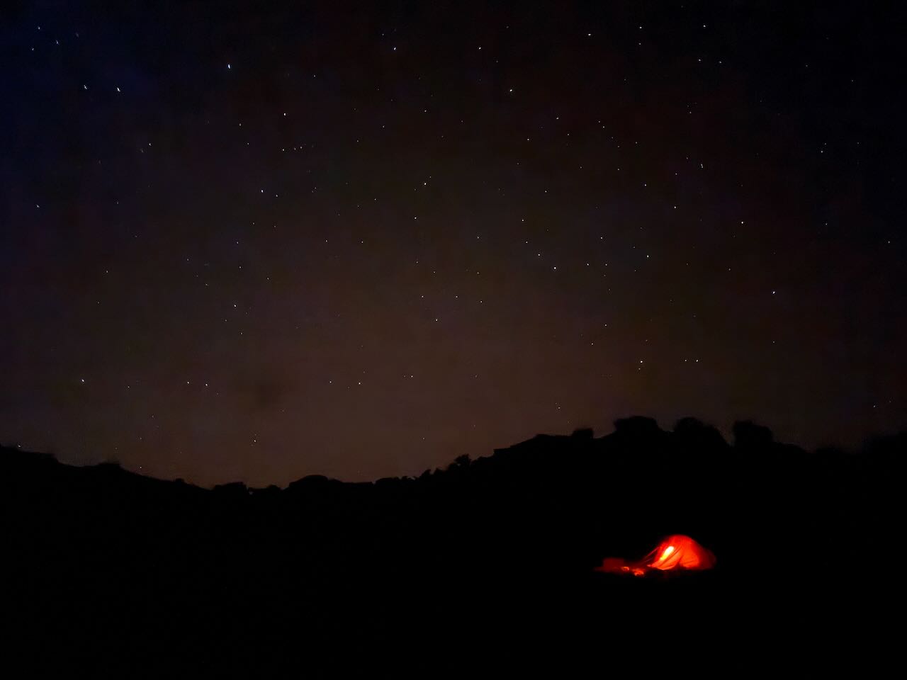
Day 2: Saturday, Oct 26
The sunrise was pretty spectacular!
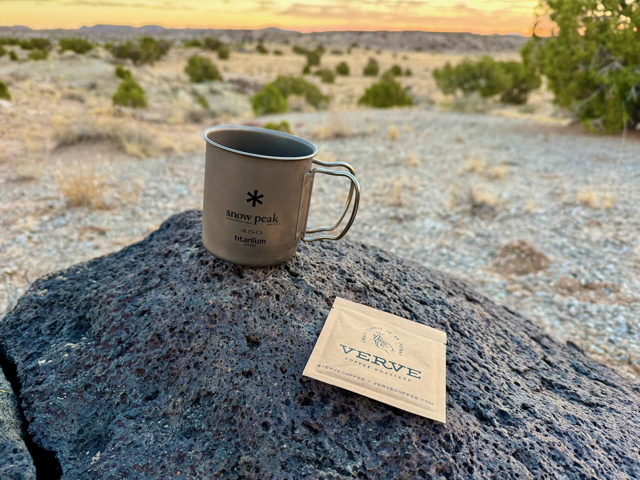
We knew that the second day would start with a few hours of climbing to the highest elevation point in the trip, the Cathedral Valley Campground. Important to start refreshed and well nourished! A dear friend had sent me, after I had told her about my struggles to find the perfect solution for a decent cup of joe while camping, some top shelf instant coffee that was really good. My breakfast is usually cereal. The way I do it: For each breakfast I fill a ziploc bag woth powdered milk, cereal, sugar and raisins. To eat, just add water, shake and enjoy!
No climb is complete without a good payoff in the form of a spectacular view. We were not disappointed!
I was talking earlier about the downside of late season camping being that you're in your tent by 8pm. Well, the flip side of that coin is that you are up early! Catching nice sunrises is one advantage. Another is that you get a decent amount of riding in early. We reached the campground by 11, marking the end of our climb and the start of a long, gradual descent. We had no intention of staying at the campground; we planned the trip so that our Saturday would be split between the climb and the descent into Cathedral Valley. We just got there earlier than we'd expected, so there would be plenty of time for little excursions. We ended up doing three of them. But let me give you an impression of how freaking awesome the descent into Cathedral Valley is!
The first excursion was to the Morrell Cabin. This cabin originally stood miles to the west and a few thousend feet higher in elevation on Thousand Lake Mountain, where it was home, incredibly, to a family of eight during the summer, while they worked their logging operation in what is now Fishlake National Forest. The cabin was then purchased by a guy by the name of Lesley Morrell, who numbered all the logs, deconstructed the entire thing, and transported it to down the mountain to where it stands now, to use it as part of his cattle operation down here.
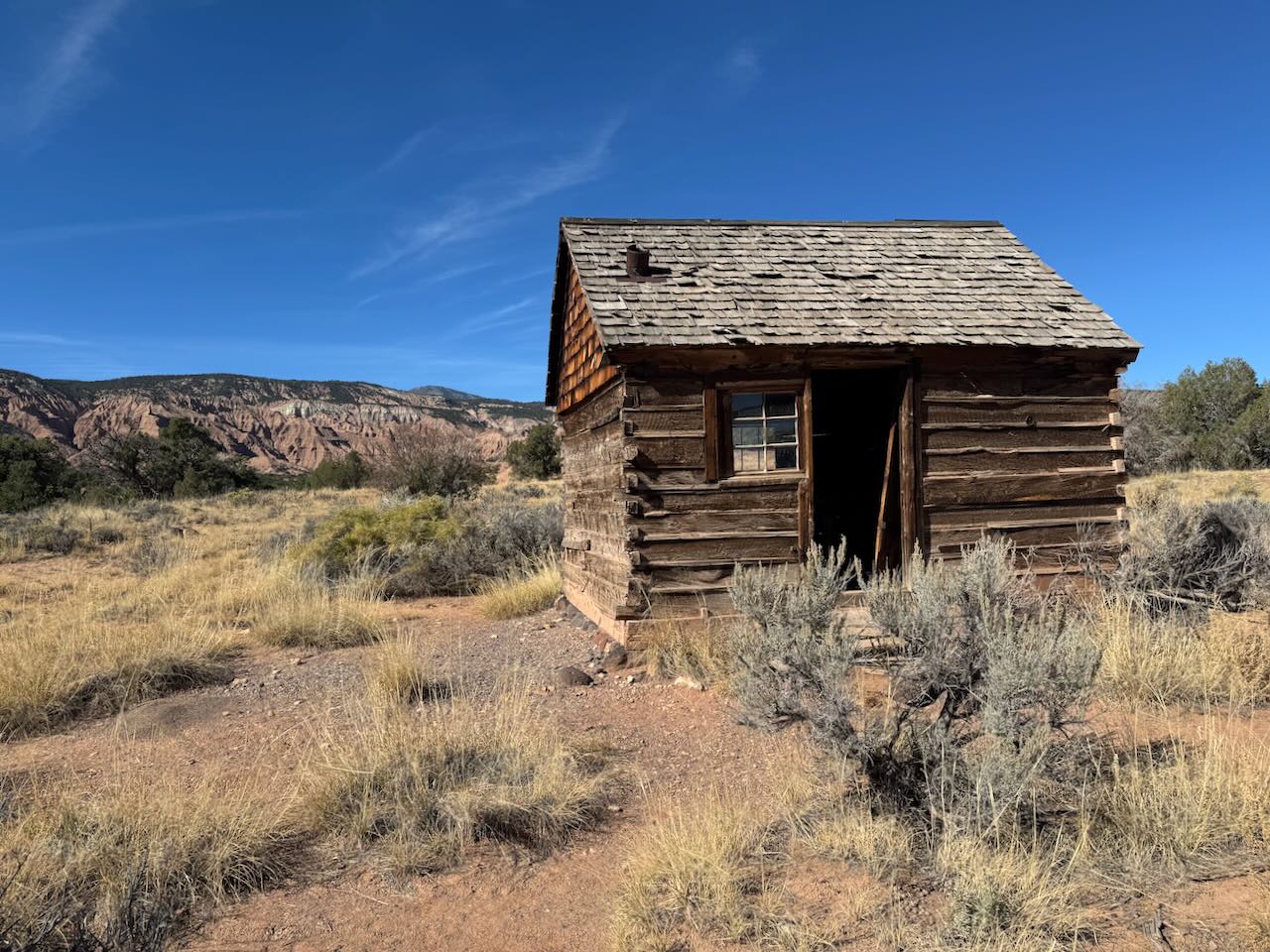
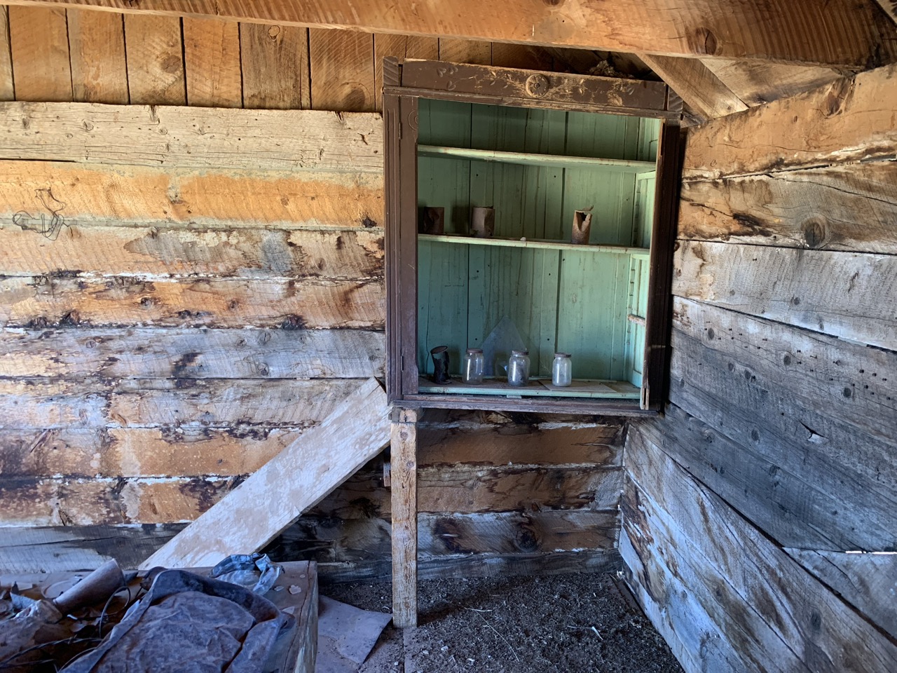
The second excursion was to a giant sinkhole. Photos don't really do it justice but it was indeed giant and dark.
It had gotten kind of warm by then, so we found a shady spot and had some lunch. I usually do not pack an actual meal for lunch. I do bring a selection of snacks that are high in protein, carbs or both. On this trip I had brought some dry sausage, fig bars, and protein bars. So I had some of each. Everything tastes better when you're camping, and these off-brand fig bars, expired protein bar and gas station sausages were no exception.
The final excursion of the day was to the Temple of the Sun and Temple of the Moon, the two most impressive "cathedrals" of Cathedral valley. I have to say that, by then, I'd already seen so much incredible scenery that the Temples did not make the impression they probably would have made if, like most visitors to the area, they were the only significant natural features I'd seen. But they were still impressive, and we did see a significant amount of car traffic around the Temples. We also ran into a solo bikepacker from New Mexico, who figured he'd do the entire loop in one day. Good luck, buddy. Nice guy though. He reminded me a bit of the guy who delivers weed in that HBO show "High Maintenance" which was pretty hilarious.
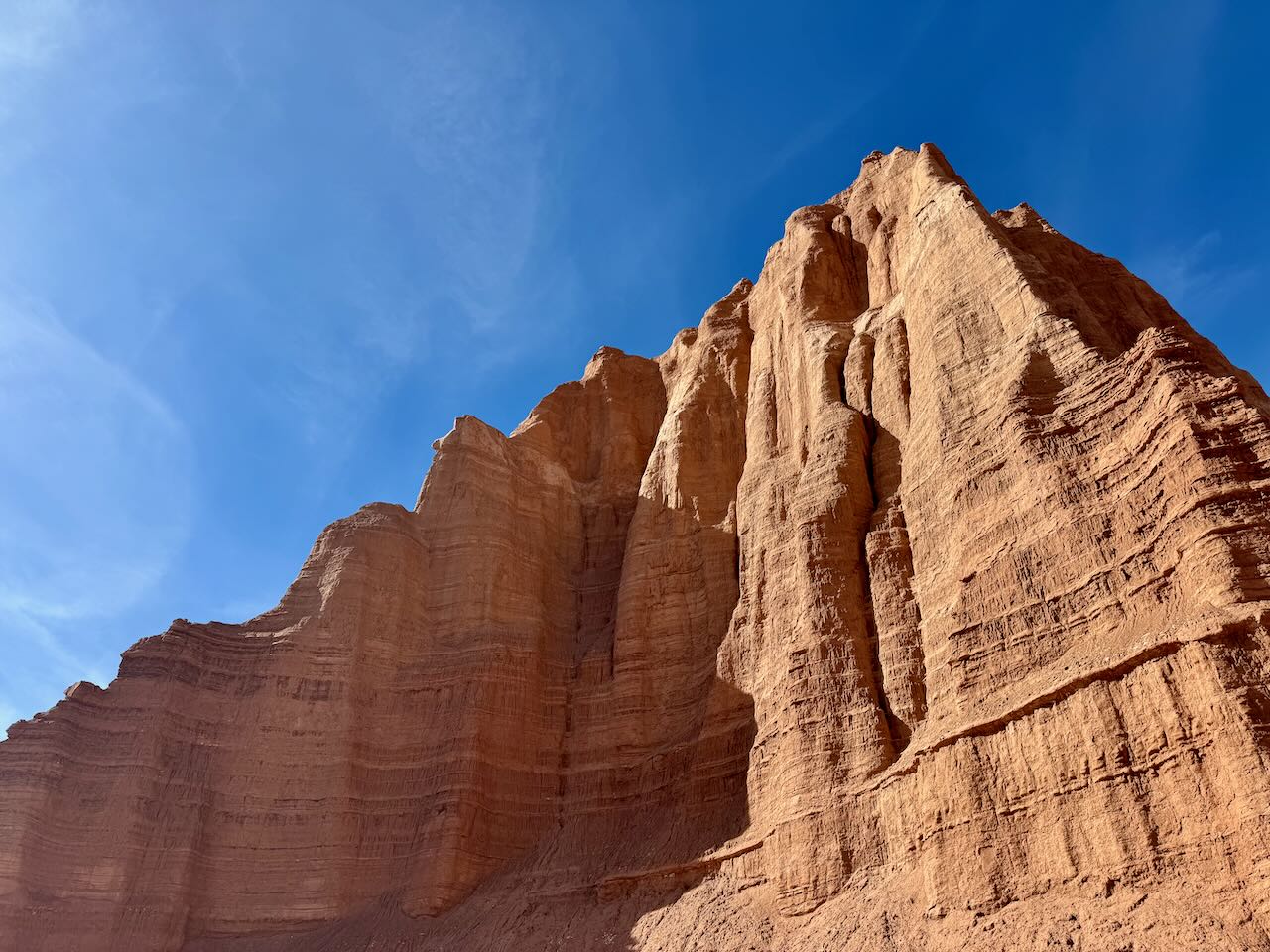
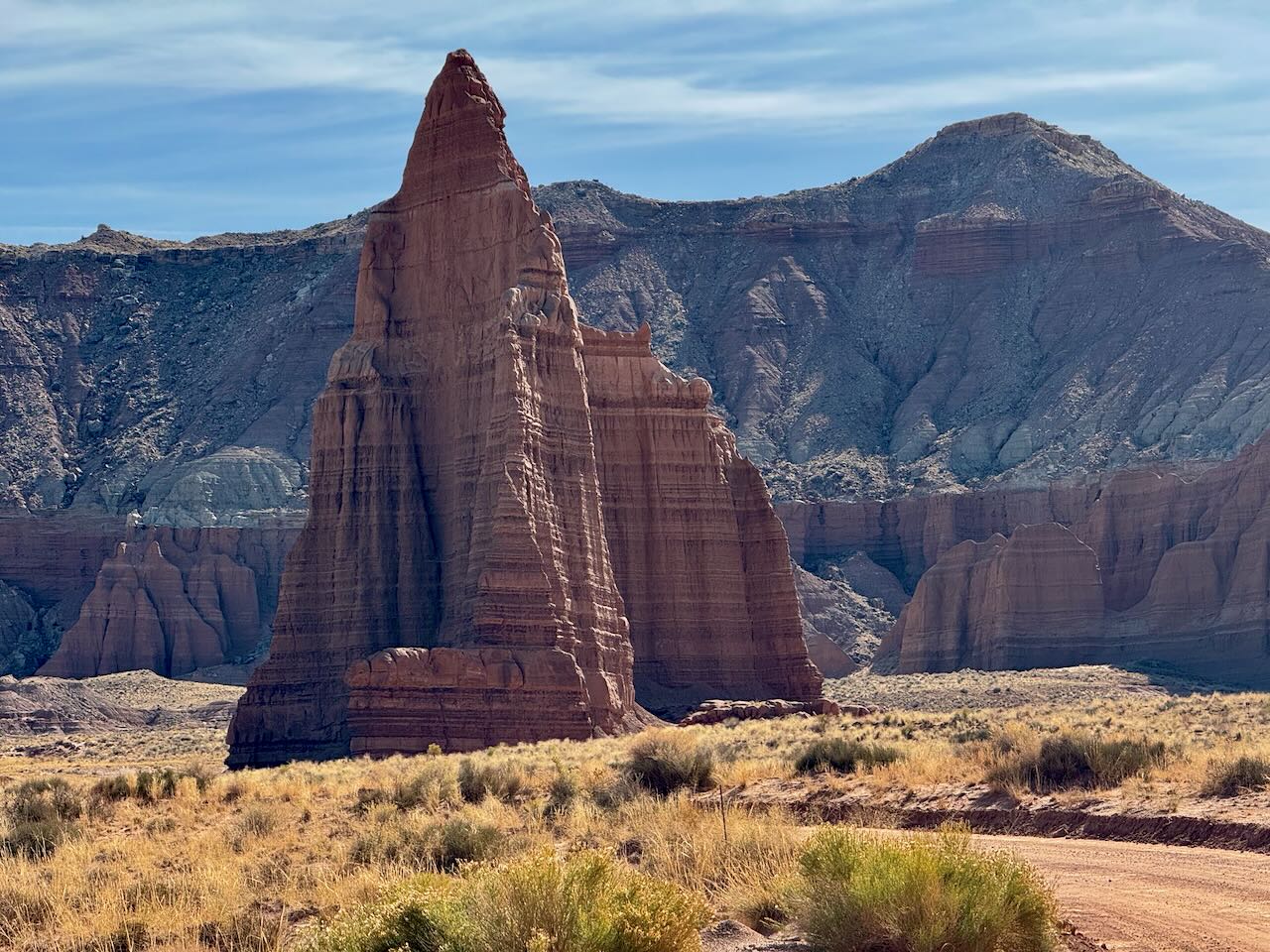
Shortly after, we ran into a bikepacking group going the other direction. By then it was already around 2:30, and they would still have had a significant climb and distance ahead to make it to the campground. There would be no other opportunity for them to camp, since we were on National Park land, and Capitol Reef, like most NPs, does not allow backcountry camping without a permit. But who knows, perhaps they had one, or didn't know, or didn't care.
For the 15-ish miles from the campground to the Temples, the road is generally decent, but there is quite a bit of washboard surface which is exhausting and unpleasant to ride. You can avoid it for the most part by staying close to the edges of the road, where cars don't travel. There was also quite a few stretches with loose sand. Those were not a problem for us, because we both had 3 inch tires on our bikes, but we did see some evidence of skinnier tires slipping in that sand. So that would have slowed down that group quite significantly.
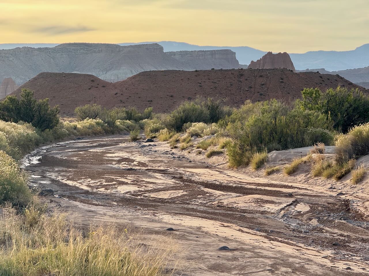
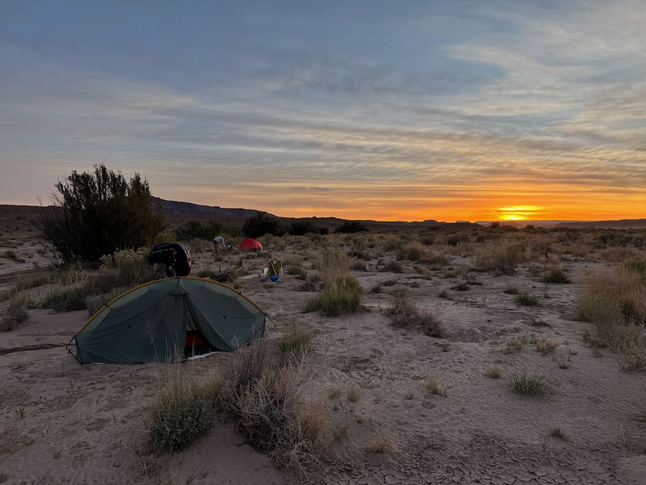
After a good 35 miles, it was only 3:30pm, so we still had a good few hours of daylight. But we were getting tired and decided to go look for a place to camp and rest for a bit. From the road, we followed a dry wash for about 1/4 of a mile and found a good spot. There was evidence of fairly recent significant flooding in and around the wash, as you can see in the pictures. When camping in or near a wash, you should always be 100% sure that there's no chance of any flash flooding. This can occur even when there is not a cloud in the sky: the origin of the flooding can be many miles away, where the weather can be completely different. Knowing the weather forecast however, we knew we would be okay there.
Day 3: Sunday, Oct 27
Bacause of our good progress on Friday and Saturday, we only had about a 15 mile ride back to the car. I didn't take any pictures on that day (Tiger took the one below), but the landscape was much more interesting than I had expected, with some very interesting geology and springs. And some unexpected steep climbs and descents to cross the Caineville Wash and its tributaries a half a dozen times!
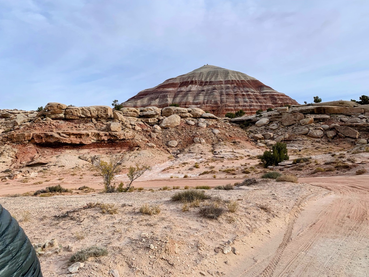
The last few miles were a gentle glide back to the cars. We got there at 11am, much earlier than I expected. It's nice to have plenty of time left in the day to unpack, clean the bike, get clean myself, pack away the camping gear, make some post trip notes of what I want to improve in my setup for next time, and in this case drive the 3.5 hours back to Salt Lake City.
All in all this was a very cool trip: fantastic weather, impressive scenery, and good company!


